Skip to Content

Waters

Rivers - Leeds & District ASA Waters

River Aire - Beal

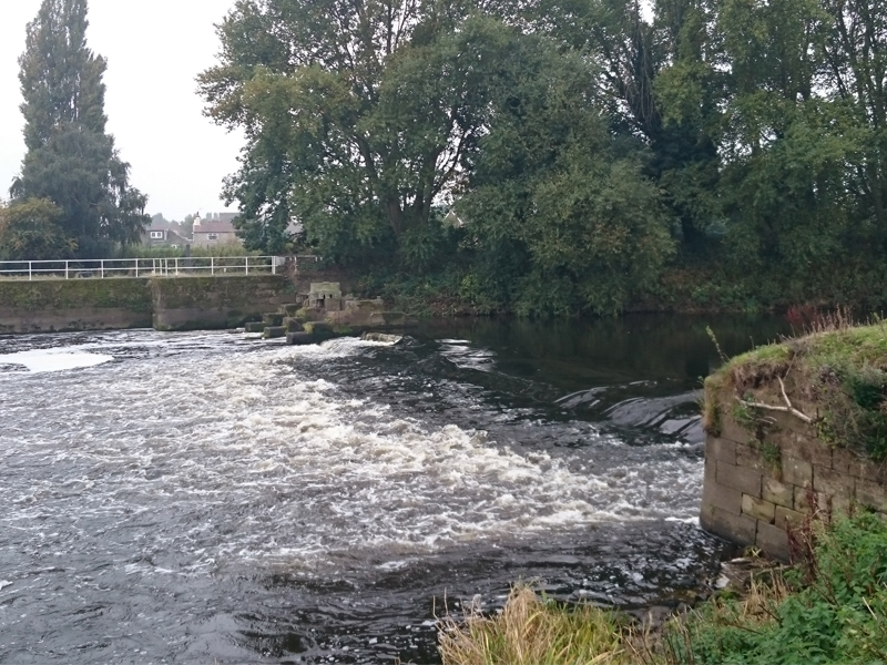
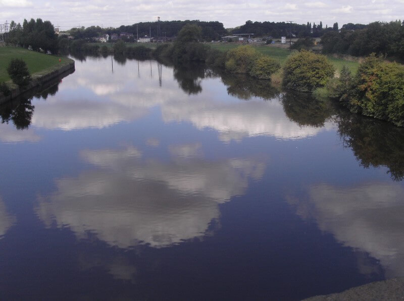
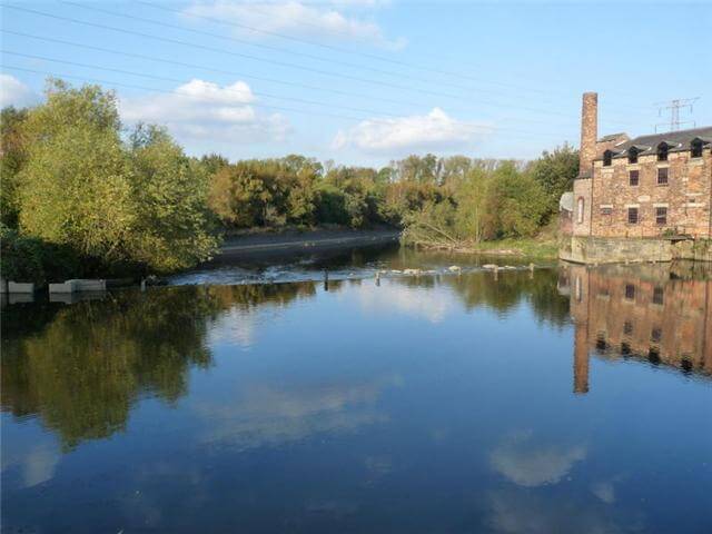
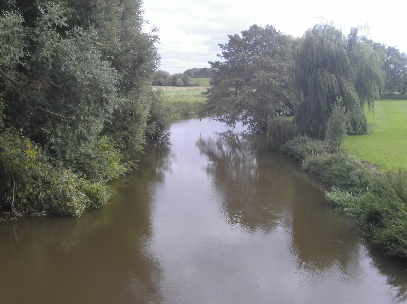
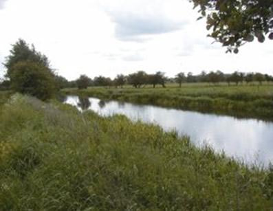
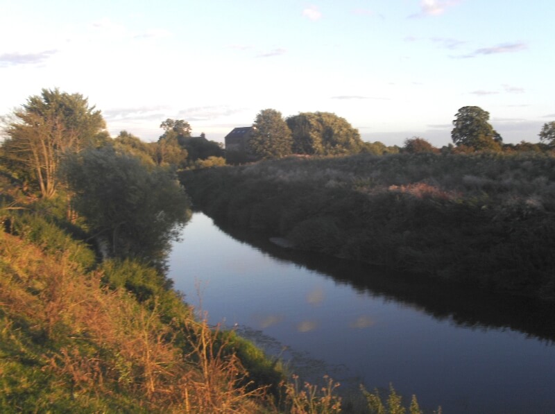
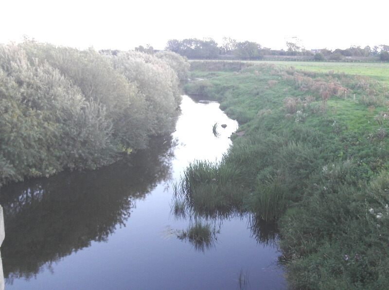
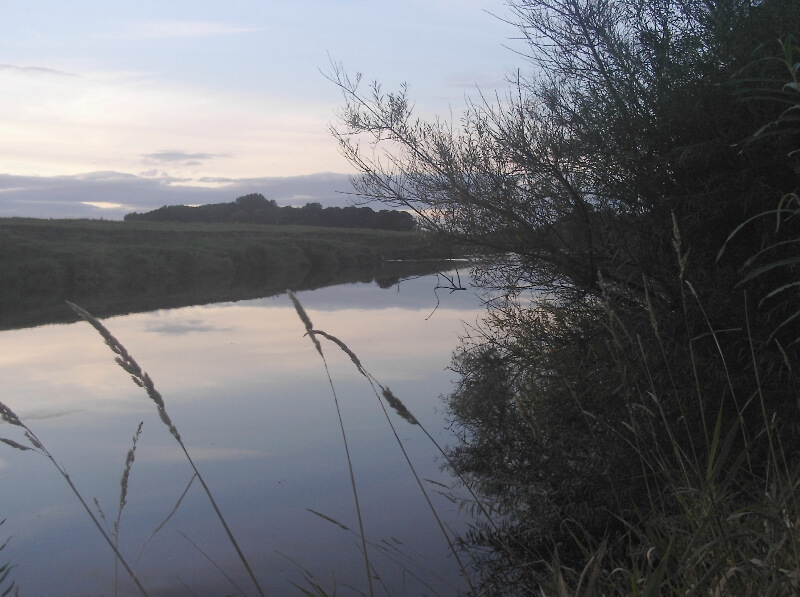
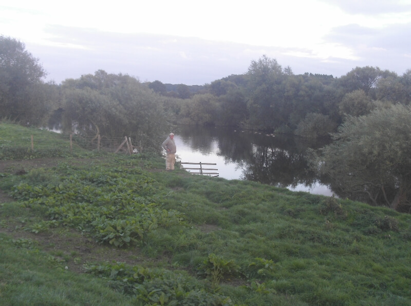
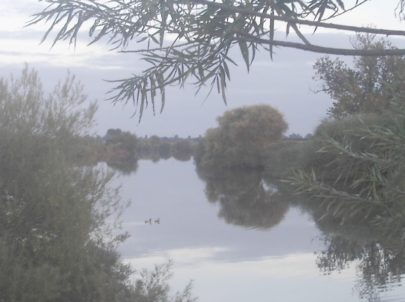
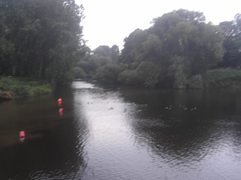
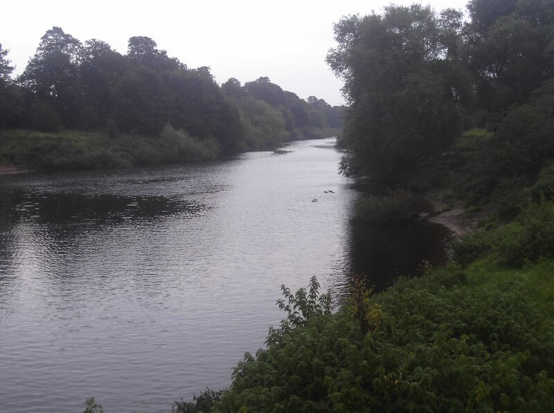
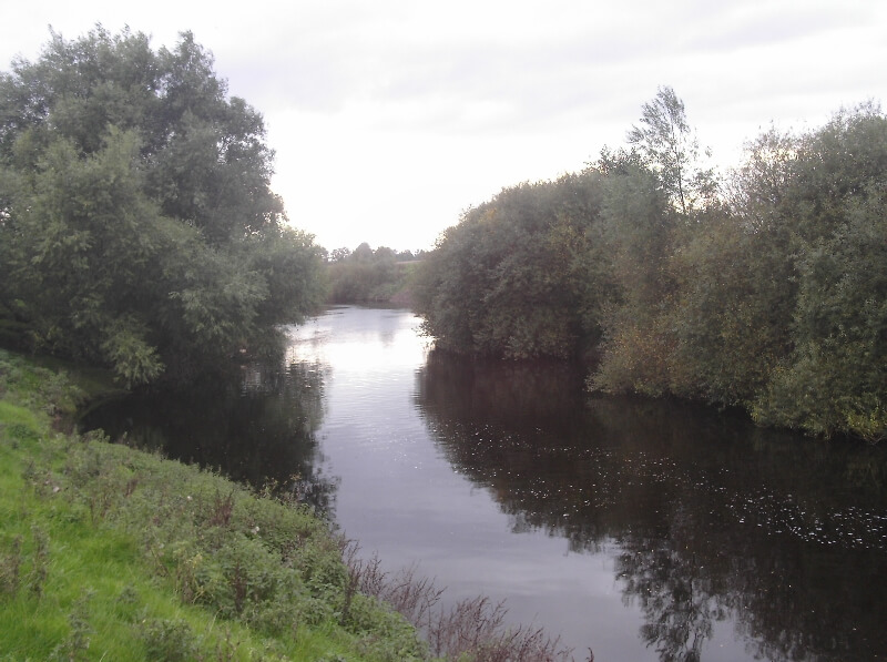
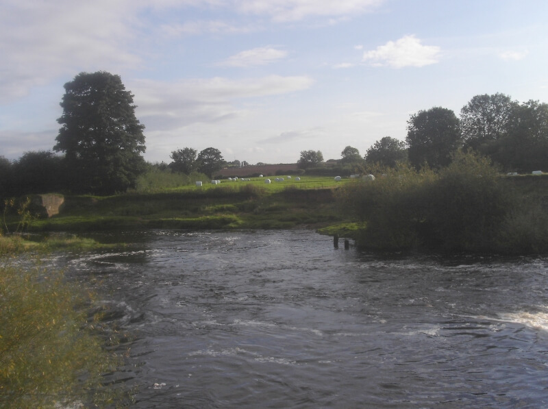
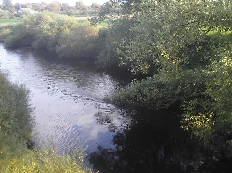
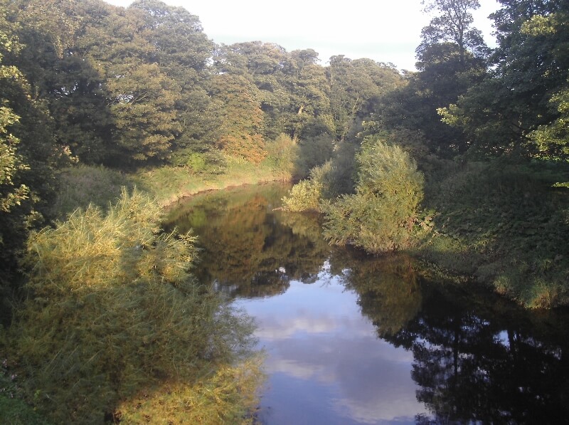
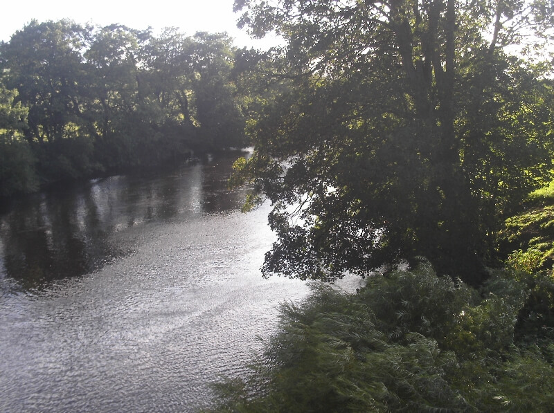
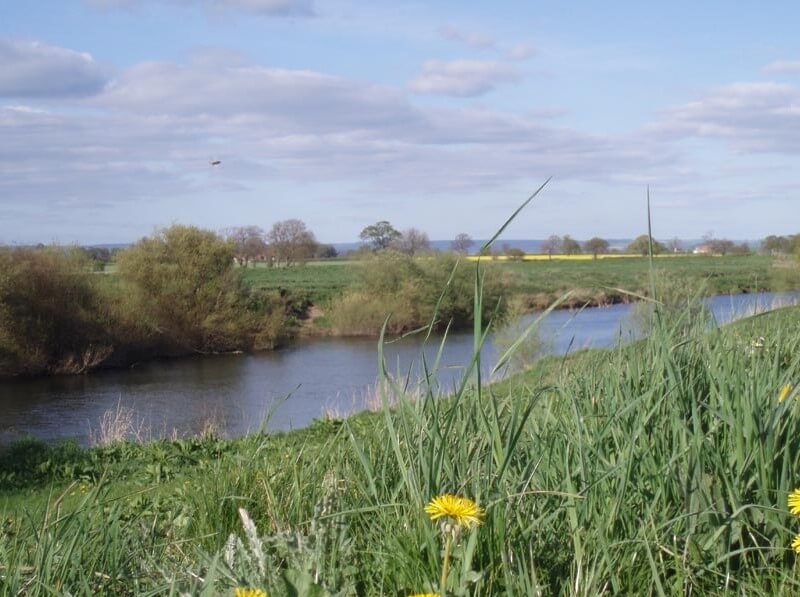
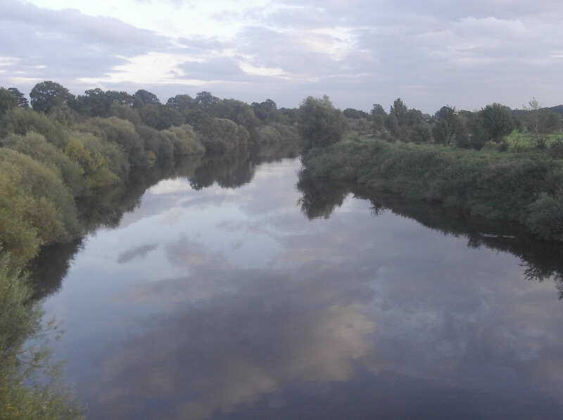
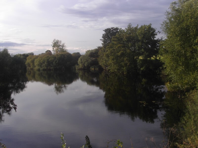
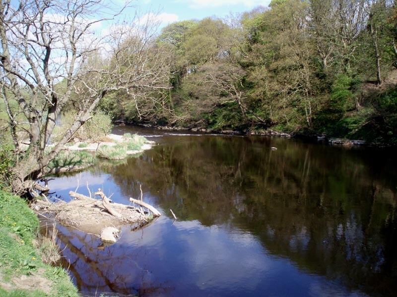
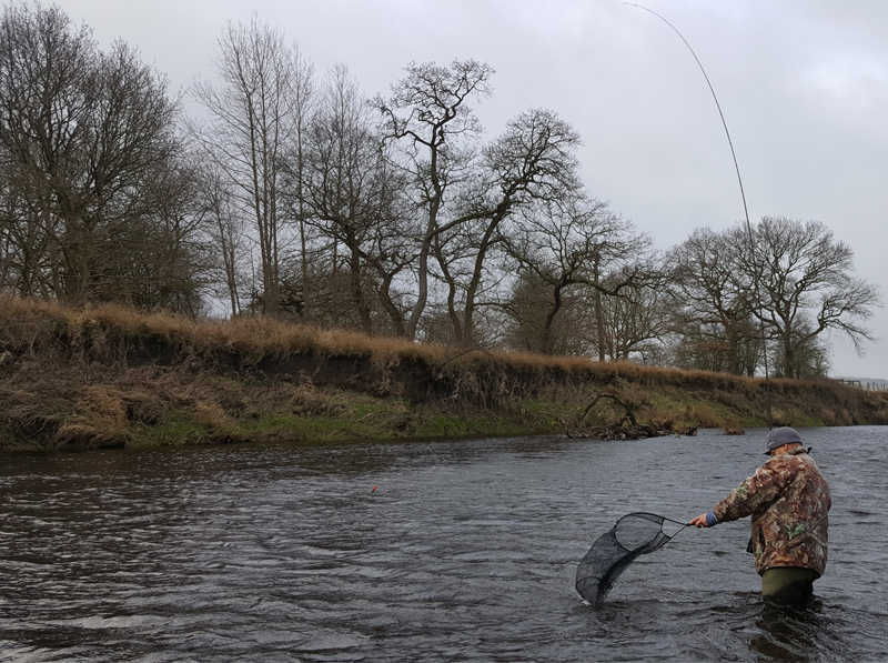
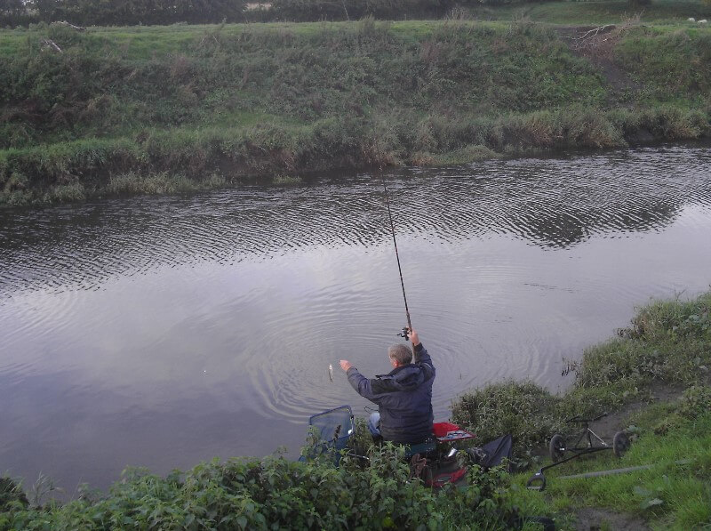
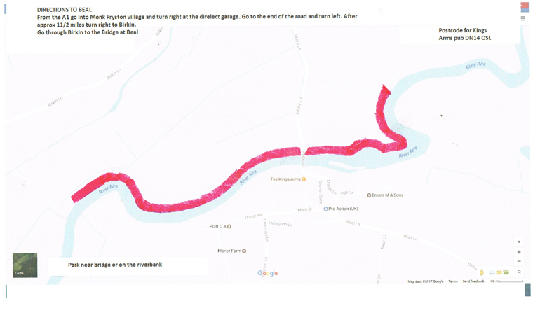
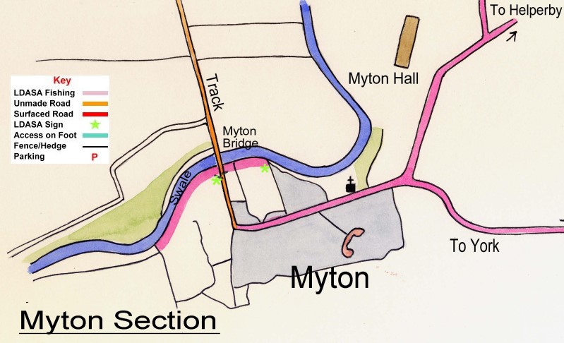
River Aire - Beal - (DN14 OSL)

Year Book Holders Only.

From the A1 go into Monk Fryston village and turn right at the derelict garage. Go to the end of the road and turn left. After approximately 1 1/2 miles turn right into Birkin. Go through Birkin to the Bridge at Beal where cars can be parked. Parking also available on the riverbank. Fishing on the left bank.

Postcode for Kings Arms pub nearby is DN14 OSL

Venue Map Directions

River Aire - Stockbridge

River Aire - Stockbridge - (LS26 8PL)

Year Book Holders Only.

River Aire, Riddlesden, Keighley, left bank, from golf course to cricket field. For entry, turn right off Leeds/Keighley Road up Bar Lane, before bridge over River Aire. Cross canal bridge, turn left, turn left again re-cross canal, down canal bank and take lane entry of fishing, along side of canal to car park. Two matches allowed. See Match Secretary for details. Short length available at top end of fishery adjoining golf course, for pleasure fishing only. Owned outright by the Society.

Venue Map Directions

River Aire - Chapel Haddlesey

River Aire - Chapel Haddlesey

Year Book Holders Only.

River Aire, Chapel Haddlesey. Pegs 1 to 41 on the right bank opposite West Haddlesey. Pegs 42 to 60 are on the left bank from Selby lock to the entrance downstream.

Venue Map Directions

River Derwent - Kexby (Downstream)

River Derwent - Sutton on Derwent - (YO41 4DQ)

Year Book Holders Only.

Approximately one and a half miles above the weir. This section is jointly held with York and District AA. A private car park for members is provided, on the right, adjacent to the river between the roadbridge (approaching from Elvington), and the water mill. Once you have parked here there is a gated public footpath, which gives access to upstream of the bridge. Be careful when crossing the road as there is no footpath and the cars come round the corner very fast.

Directions

River Nidd - Ramsgill

River Nidd - Ramsgill - (HG3 5RL)

Year Book holders only.

Coarse and Trout Venue
From Howe Stean Beck. Both banks to bridge then right bank downstream for approx 1.5 miles with the exception of one small field. (See signs for limits). Parking at Howe Stean Gorge available for small charge.

Venue Map Directions More details

River Nidd - Moor Monkton

River Nidd - Moor Monkton - (YO26 8JB)

Year Book Holders Only.

Right bank approx 1200 metres upstream from where the Nidd enters the Ouse. Parking only in the 2 designated car park compounds as per venue map. Cars must not be parked anywhere else on this venue. Fishing allowed up until 11pm on this venue.

Directions

River Nidd - Skip Bridge

River Nidd - Skip Bridge - (YO26 8EZ)

Year Book holders only.

From Railway Bridge, left bank down to old road bridge. Two match lengths. From Old Bridge, right bank approx 1 mile downstream. One match length. Parking - Lay-by Skip Bridge. Fishing allowed on this venue until 11pm.

Venue Map Directions

River Ouse - Hunters Lodge - (YO30 2AH)

Year Book Holders Only.

River Ouse. Left bank. Commencing at Notice Board about 3/4 mile below Aldwark Bridge down to Notice Board four fields below. Entrance to fishing is on road side half way from Aldwark to Linton. See Notice Board. Permanent pegs No 164 to 231. Park vehicles on grass verge clear of road. Cars may also be taken down lane at side of farm and parked on left hand side.

Directions

River Ouse - Linton-on-Ouse (Top) - (YO30 2AX)

Year Book Holders Only. Anglers only.

Two fields, left bank downstream of Hunters Lodge. Entry will be indicated by notice board. Permanent Pegs No 232 to 263 No parking on Airfield Car Park. Park vehicles on grass verge clear of road. Parking available down lane to Fishery Cars to be reversed to hedge. Parking at owners risk.

Venue Map Directions

River Ouse - Newton-on-Ouse - (YO30 2BR)

Year Book Holders Only.

From mouth of River Kyle upstream left bank (two fields) to beck end. This fishery, must be approached from Kyle end. Park in lay-by or in the car parking area in the field adjacent to the layby. Permanent Pegs No 1 to 33. Fishing allowed on this venue until 11pm.

Venue Map Directions

River Ouse - Nun Monkton - (YO26 8JB)

Year Book Holders Only.

The length formerly known as Alice Hawthorne. Right bank. Two match lengths available. Length 1 Pegs 1-25, Length 2 Pegs 26 -50 . Parking at Sweethills Farm. Fishing allowed up until 11pm on this venue. Directions - Turn left just before Nun Monkton Village and follow signs to winery. Pass through second farm to car park. NO FISHING DOWNSTREAM OF PEG 50.

Venue Map Directions

River Ouse - Nidd Mouth - (YO26 8JB)

Year Book Holders Only.

Approximately 1000 yards River Ouse right bank. Approach from Moor Monkton Village. Park only in car parking areas shown on directions map. Nidd car park is on left hand side 200 yards over cattle grid. Go past this car park and after 200 yards the track bends to the right. At this point go straight forward onto the grass and follow the car tracks. After 400 yards there is a gated compound which holds approx 4 cars (Parking 1). Parking is also available in Laund House Farm yard (Parking 3). Red House Lane (Parking 2) - Approach towards Moor Monkton village on Church Lane then turn right down Red House Lane. Limited Parking at end of lane adjacent to barrier. Fishing allowed up until 11pm on this venue.

Directions

River Swale - Topcliffe - (YO7 3RG)

Year Book Holders Only.

Right bank - take left fork down Park Road before Topcliffe Bridge. Parking on roadside near first gate on right. Cross field diagonally to weir. Fish from fence above weir to sign approximately 500 yards downstream. . Left bank below weir - Approach down Catton Lane from village. Parking through hedgerow 200 yards down Catton Lane. Additional parking in layby 100 yards further on. Owned outright by the Society. No matches. Fishing allowed until 11pm on this venue.

Venue Map Directions

River Swale - Asenby - (YO7 3RA)

Year Book Holders Only.

River Swale, right bank, approximately 1000 yards. One match allowed. No approach must be made to the farm. Entry clearly sign-posted, and limit signs at each length. Park clear of road. Fishing allowed on this venue until 11pm.

Venue Map Directions

River Swale - Pickhill - (YO7 4JL)

Year Book Holders Only. Anglers Only.

Coarse and Trout Venue
One kilometre of classic Swale on the right bank at Pickhill. Approaching Pickhill C of E school, turn left down Lowfields Lane. After 500 metres turn left onto the metalled track. After 200 metres turn right through gate into field. Keeping to the right hand edge of the field drive down to the river and park at the side of the floodbank. From October to March no access by vehicle down the field. Park adjacent to the telegraph pole or in the small area on the right as you enter the metalled track to the venue. Room for 4 cars only.

Directions

River Ure - Middleham & Harmby - (DL5 5HE)

Year Book Holders only.

Coarse and Trout Venue
On left bank field above Iron Bridge and approximately 1 mile below Iron Bridge to stone wall - See signs. On left bank approximately 1 mile above Iron Bridge to Beck. Approximately 100 metres above Iron Bridge. On right bank approximately 1 mile above Iron Bridge to approximately 200 metres above Iron Bridge. Parking on grass margins on Leyburn side of iron bridge. Parking also available at Harmby House Farm.

Directions

River Ure - Aldwark Left Bank - (YO61 1UB)

Year Book Holders Only.

Length 1 - Second field upstream of Toll Bridge to start of golf course. Length 2 - Enter field through Aldwark Arms car park. Further 3 fields upstream to double fence limit. Fishing allowed on this venue until 11pm. If asked by a member of staff from Aldwark Arms to remove car from their car park , please do so without question.

Directions

River Wharfe - Easedike - (LS24 8BE)

Year Book Holders only - Anglers Only

Above Tadcaster (Left Bank). Approximately 2 miles above the footbridge at Easedike, and down to the first field above the park wall. One match only above Beck. Entrance by main road to Easedike Farm. ANGLERS ARE NOT ALLOWED TO TAKE A SHORT-CUT THROUGH THE PARKLAND.

Venue Map Directions

River Wharfe - Linton - (LS22 4HT)

Year Book holders only.

Coarse and Trout Venue
Entry situated approximately ½ mile above Linton Bridge, along Linton Common. ½ mile of fishing. Parking for 5 cars on the triangle outside the garden centre / nursery. Entry is through the gate marked private. After 100 yards turn left down to the river. If no spaces, then nearest car park is on right hand side before Linton Bridge travelling from Collingham direction. Tackle may be dropped off at the venue but cars must then return to car park. Owned outright by Society. No matches allowed.

Venue Map Directions

River Wharfe - Kearby (LS22 4BU)

Year Book Holders only.

Coarse and Trout Venue
800 metres left bank as per the venue link below. Parking is available in the field at the side of the river but an off road vehicle will be required to drive down the track. Please do not park down Pasture Lane.

Directions

© Copyright 2024 Leeds and District ASA Site by:  ina4 logo